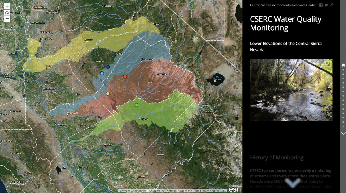
Check out CSERC's new interactive web map! This story map details CSERC's stream water quality monitoring efforts from 2018 to 2019 in the lower elevations (1,000-4,000 ft) of the Mokelumne, Stanislaus, Tuolumne and Merced River watersheds of the Central Sierra Nevada region.
The goal of this effort has always been to better understand bacteria pollution in the region’s watersheds. And while CSERC submits this data to the state, many of our sites are located near public parks and we think it is important for everyone to have access to this information.
Click on the map to go to the webpage!