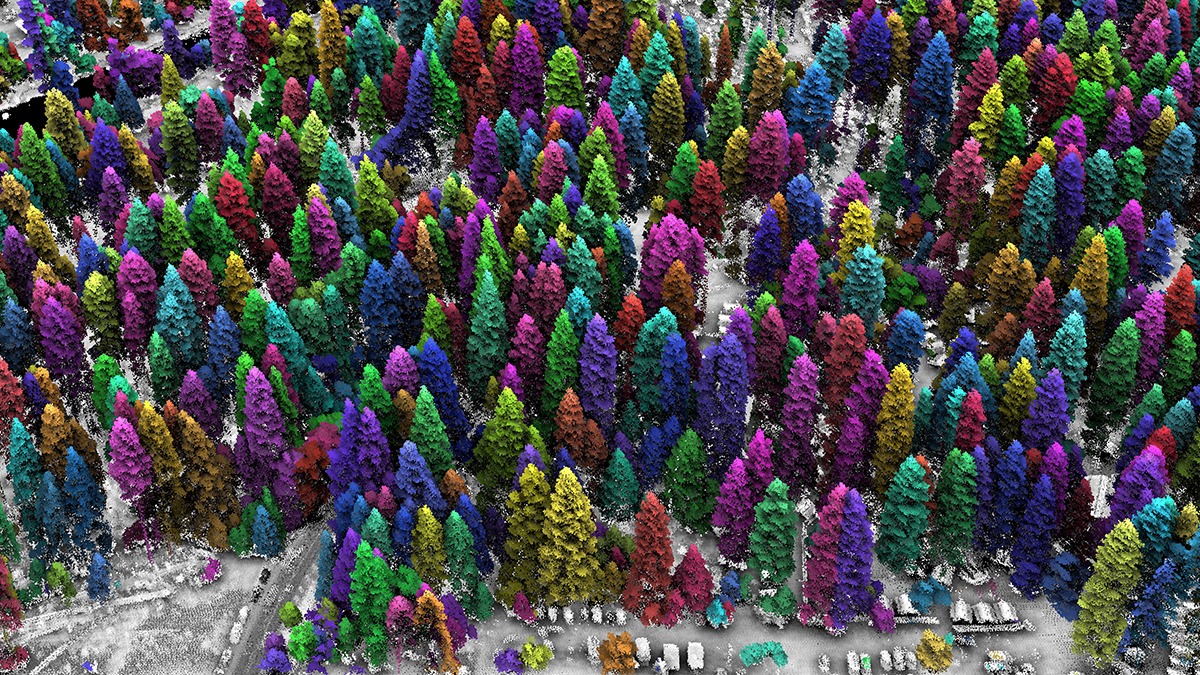
In recent years, laser images gathered from Lidar instruments on planes flying above a forest landscape have enabled forest managers to gain amazing information about the forests down below.
Called lidar for “Light Detection and Ranging” -- lidar uses pulses of laser light that get measured by instruments and then results in incredibly accurate 3-D maps to be produced. The photo above shows one example of a lidar image of an area in Yosemite Valley.
This new science report shows how lidar helps forest officials to accurately understand how intensely a forest has been burned by a wildfire, where reforestation projects may be needed, and where forest fuels are creating areas with extreme wildfire risk.
Check out the website article to learn more about this impressive science tool.