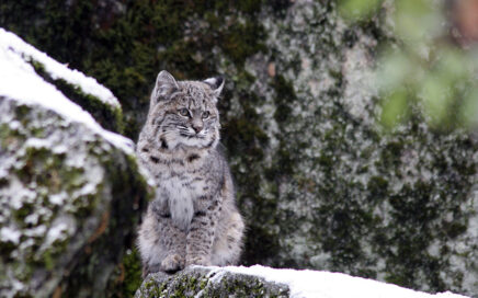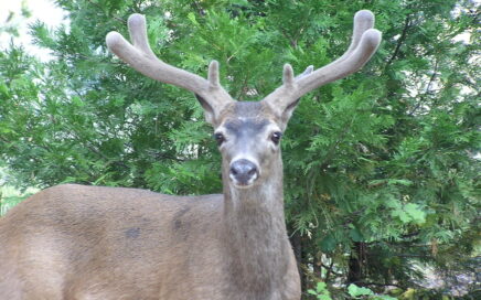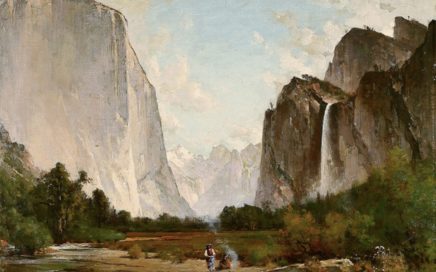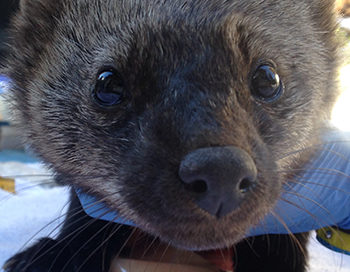
CSERC’s “Wild Wonders” Photo Contest is Now Open for Entries! (contest rules here)
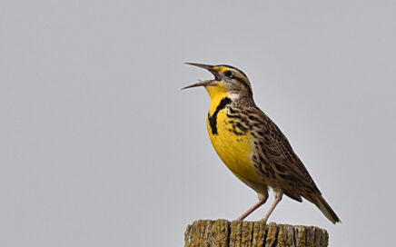
CSERC’s Wild Wonders photo contest is aimed at raising appreciation for our native wildlife and scenic natural landscapes and to encourage everyone to take time to appreciate the natural beauty of our region. Cash prizes will be awarded in the Scenic Natural Landscapes category and in the Native Wildlife category for the photos that best […]